Showing posts with label Friday Night Severe January 20th Brian Davis. Show all posts

Wednesday, January 25, 2012

A sunny and cold weekend ahead....

A cold front moves into the area again for Saturday bringing
a strong shot of cold air to the region. Mostly sunny for the 
weekend, but winter temperatures will return. 

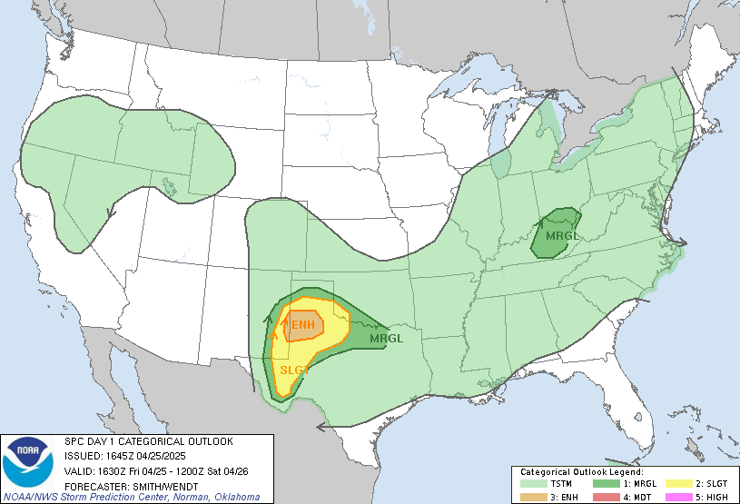
Here is a look at the current storm risk map:
Local Radar:

Current In Motion Radar:


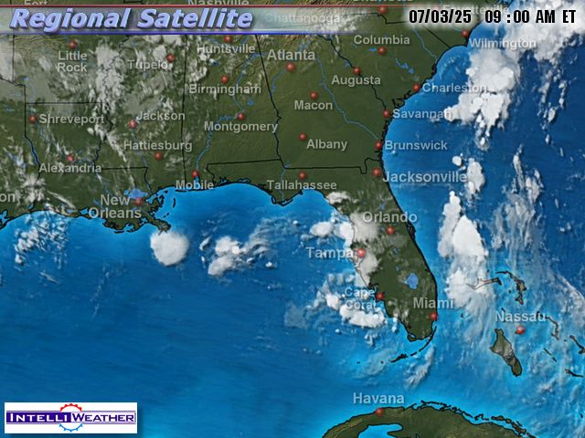
Infrared Satellite:
Surface Map:

Surface In Motion:

Full Disk View:

Current Short Range Forecast:

This Week's Forecast:

Shoals Weather Station
Click For Close Up View 
In Courtesy and partnership with Bill Rogers of Killen, Al
**Radar View Courtesy of WAFF 48 Huntsville, AL.

Here is a look at some cameras from the west: 
(Refresh page for latest live view)

Columbus Mississippi:


Oxford Mississippi, 100 miles west of the Shoals:


Southaven (Just south of Memphis, TN)

A Current Look At Any Watches Or Warnings: 


Solar Weather
Current Satellite View of Solar Flare Activity


Friday, January 20, 2012

Severe weather possible for the Tennessee Valley...

Severe weather potential for tonight over the Tennessee valley. Monitor the weather closely. A tornado WATCH is in effect for northwest Alabama until 5 AM. 

Current In Motion Radar:


Infrared Satellite:

Surface Map:

Full Disk View:

Current Short Range Forecast:

This Week's Forecast:

Shoals Weather Station
Click For Close Up View 
In Courtesy and partnership with Bill Rogers of Killen, Al
**Radar View Courtesy of WAFF 48 Huntsville, AL.

Here is a look at some cameras from the west: 
(Refresh page for latest live view)

Columbus Mississippi:


Oxford Mississippi, 100 miles west of the Shoals:


Southaven (Just south of Memphis, TN)

A Current Look At Any Watches Or Warnings: 


Solar Weather
Current Satellite View of Solar Flare Activity