Severe Weather Sunday January 22nd. Severe storms and tornado potential strongly exists Sunday evening through Monday morning as a strong mid mid and upper level storm moves over the southeast Sunday night. Instability will be in place as well. Long lived tornadoes could occur with some of these storms. Monitor closely Sunday for future updates.
For the weather folks, You will quickly see why I am
concerned about this event. Look below:
Strong upper level storm approaches Sunday (500 MB Vorticity)

The LLJ will be out the roof as well.

300 MB Winds will be out the roof

Temperature and Dewpoint tongue will be quite sufficient

This is just a little of what I am looking at. The ingredients will be in place for a moderate severe weather risk as we go into Sunday evening and lasting into Monday morning. Use extreme caution.
Local Radar:
Current In Motion Radar:

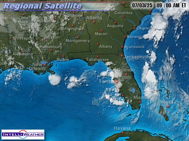
Infrared Satellite:
Surface Map:

Surface In Motion:
Full Disk View:

Current Short Range Forecast:

This Week's Forecast:

Shoals Weather Station
Click For Close Up View
In Courtesy and partnership with Bill Rogers of Killen, Al
**Radar View Courtesy of WAFF 48 Huntsville, AL.

Here is a look at some cameras from the west:
(Refresh page for latest live view)
Columbus Mississippi:

Oxford Mississippi, 100 miles west of the Shoals:

Southaven (Just south of Memphis, TN)

A Current Look At Any Watches Or Warnings:

Solar Weather
Current Satellite View of Solar Flare Activity


No comments:
Post a Comment