A cold front moves into the area again for Saturday bringing
a strong shot of cold air to the region. Mostly sunny for the
weekend, but winter temperatures will return.
Here is a look at the current storm risk map:

Local Radar:
Current In Motion Radar:

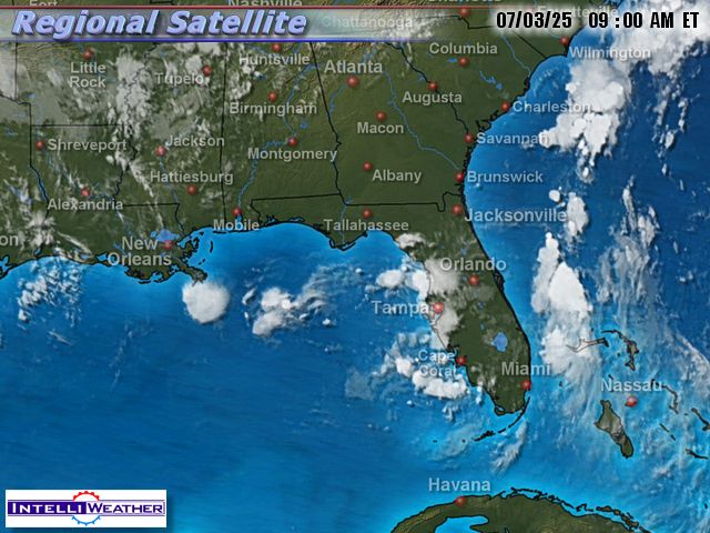
Infrared Satellite:
Surface Map:

Surface In Motion:
Full Disk View:

Current Short Range Forecast:

This Week's Forecast:

Shoals Weather Station
Click For Close Up View
In Courtesy and partnership with Bill Rogers of Killen, Al
**Radar View Courtesy of WAFF 48 Huntsville, AL.

Here is a look at some cameras from the west:
(Refresh page for latest live view)
Columbus Mississippi:

Oxford Mississippi, 100 miles west of the Shoals:

Southaven (Just south of Memphis, TN)

A Current Look At Any Watches Or Warnings:

Solar Weather
Current Satellite View of Solar Flare Activity


No comments:
Post a Comment