In this blog, I will simply COPY the SAME words from my blog update for JOPLIN on Sunday May 22nd. We actually have a stronger risk for tornadoes than we had on May 22nd in Joplin when the tornado destroyed a hospital and took out a chunk of a 55,000 populated city about twice the size of Florence Alabama.
To see the similar blog of May 22nd click below:
Now I will simply take that same blog and apply it for January 22nd for the Shoals, Corinth, Athens, Memphis areas for today (same setup with a higher risk than May 22nd)
Good Sunday Everyone, Severe Chances are going up this afternoon, so lets get right to it. As you know it has been very warm and humid over the 4 State area today. We have had a strong south wind at 15 to 30 mph and higher at times. Here is a look at the current SPC risk map:

Tornado chances can't be ruled out in these storms as well. The main threat will be storms with wind, hail, and Lightning. Our tornado risk is outlined below:

This map indicates the risk for severe storms in a 25 square mile area. We have about a 15% risk of a thunderstorm containing a tornado in any point within a 25 mile area. This type of approach is given and really helpful because we still do not have the exact science to tell exactly where each storm will develop. Using a lot of Data including soundings from weather balloon launches, we can at least narrow down the general bulls eye areas at the highest risks. If you compare this to making chocolate chip cookies, we then have our flour, sugar, chocolate chips, eggs, etc or the ingredients are there to make the cookies, just as they are for making storms. We will monitor the ingredients closely this evening to make sure the whirly thing does not come through the batter!!
You can follow radar and warnings below here today:
Local Radar:
Current In Motion Radar:

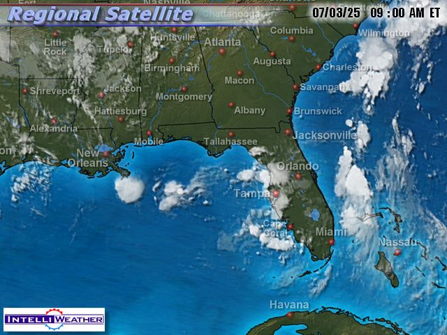
Infrared Satellite:
Surface Map:

Surface In Motion:
Full Disk View:

Current Short Range Forecast:

This Week's Forecast:

Shoals Weather Station
Click For Close Up View
In Courtesy and partnership with Bill Rogers of Killen, Al
**Radar View Courtesy of WAFF 48 Huntsville, AL.

Here is a look at some cameras from the west:
(Refresh page for latest live view)
Columbus Mississippi:

Oxford Mississippi, 100 miles west of the Shoals:

Southaven (Just south of Memphis, TN)

A Current Look At Any Watches Or Warnings:

Solar Weather
Current Satellite View of Solar Flare Activity


No comments:
Post a Comment